A sheet from an old atlas, with your place as it is today
Burin & Compass draws maps of any town, valley, island or country in the manner of the engraved atlases of 1880–1915: hills in hachures, fine lettering, borders washed in colour. Every line comes from today's survey data. Nothing is invented, and no generative AI is used.
Three kinds of sheet
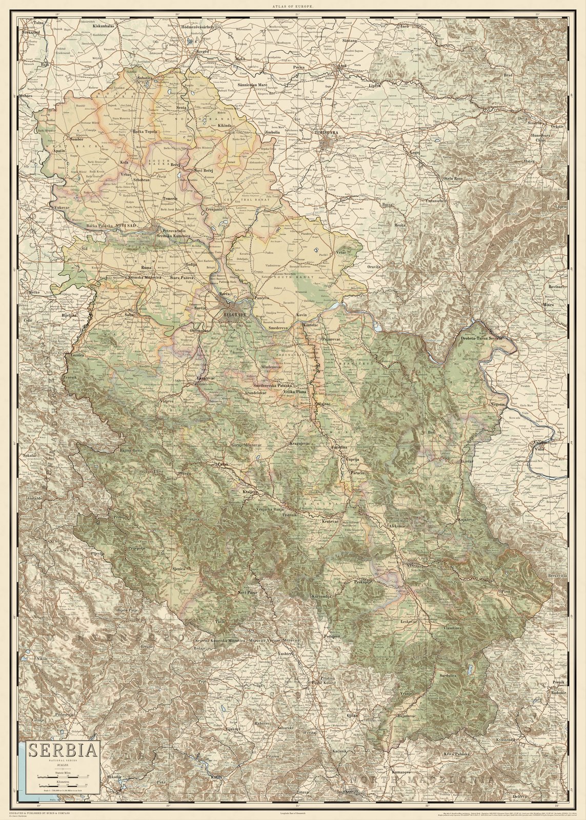
Atlas sheet
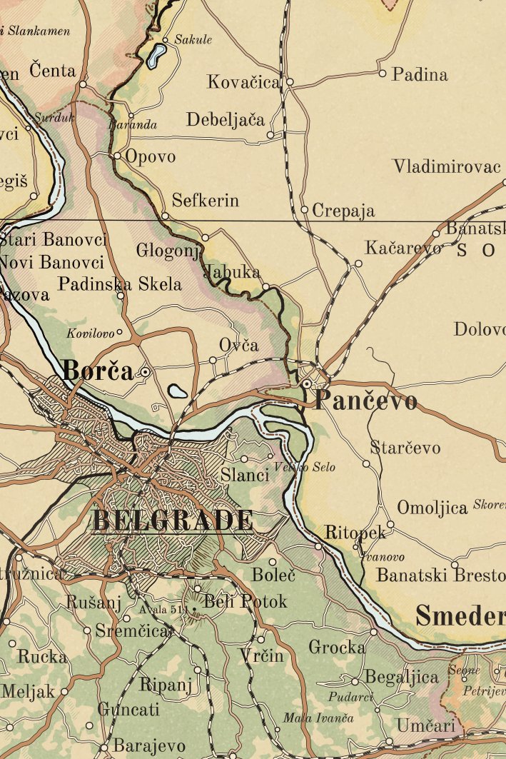
A country or a region, 1:300,000 to 1:2,000,000: hills in hachures, rivers, railways, towns ranked by size, borders in colour.
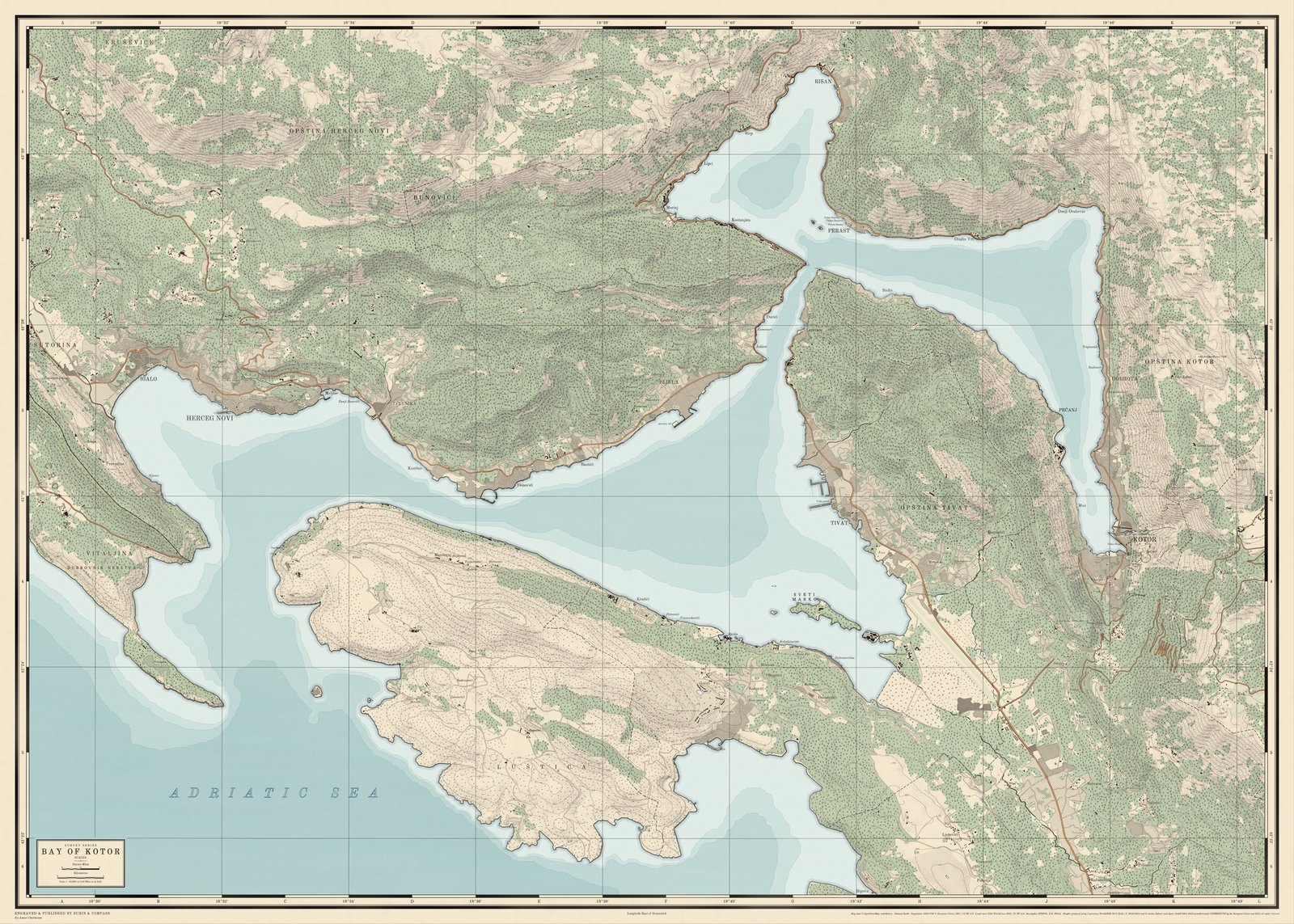
Survey sheet
A town with its country round it, a valley, a bay or an island, 1:25,000 to 1:150,000: every road and stream, woods, contours, the town in blocks.
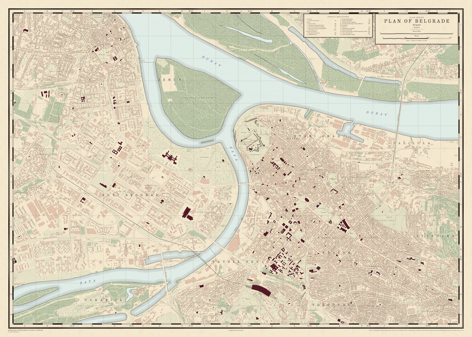
Town plan
A city, 1:5,000 to 1:25,000: every street named, the houses, the parks, the public buildings in claret with a key in the margin.